News Summary
Residents in Spartanburg, South Carolina, and surrounding counties face severe thunderstorm warnings, with potential for heavy winds, hail, and lightning. Local authorities urge residents to seek shelter and secure outdoor items as storms approach, moving at 30 mph. Continuous updates are being provided as the situation unfolds, emphasizing safety during this unpredictable weather.
Severe Thunderstorm Warnings Alert Residents in South Carolina and North Carolina
It’s a stormy afternoon in Spartanburg, South Carolina, as the National Weather Service (NWS) has issued severe thunderstorm warnings for several counties. Just after 3 p.m. today, the warnings began to roll out, affecting Laurens, Union, and Spartanburg counties until 3:45 p.m.
What’s Happening?
Residents can expect some intense weather, featuring pea-sized hail and wind gusts of up to 40 mph. Doppler radar has already detected a strong thunderstorm approximately 5 miles southwest of Laurens, swiftly making its way east at about 30 mph. The winds accompanying this storm could cause tree limbs to snap and toss around unsecured items. If you have outdoor furniture or decorations, now is the time to secure them to minimize damages.
Where Is It Hitting?
The storm is already impacting various localities, including Laurens, Clinton, Joanna, Waterloo, Cross Keys, and Hickory Tavern. If you’re in these areas, it’s important to take this warning seriously and seek shelter if you’re outside.
Safety First!
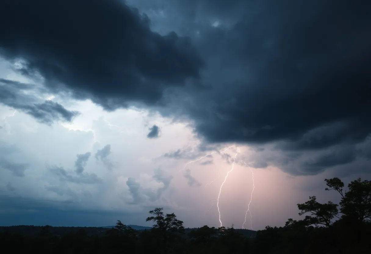
With thunderstorms comes the risk of lightning, which strikes the U.S. approximately 25 million times every year. Sadly, this results in about 20 fatalities annually during the summer months. As the storm approaches, the likelihood of lightning increases, reaching its peak when the storm is directly overhead. For your safety, it’s best to remain indoors away from windows where possible.
Prepare for Wet Roads!
Additionally, as we brace ourselves for this weather, it’s also essential to be informed about the risks of hydroplaning. This phenomenon occurs when a vehicle slides uncontrollably on wet roads due to a build-up of water that the tire weight cannot displace. Understanding this can save you from a potential roadside mishap. Remember that hydroplaning is often caused by three main factors that affect road conditions, so tread carefully if you are out driving while the weather worsens.
Looking Back
This isn’t the first bout of severe weather we’ve faced. A warning was also issued on Tuesday, June 17, for other counties, showing just how unpredictable the weather can be in this region. Counties like Elbert, Hart, and Hendershot were warned of wind gusts reaching up to 60 mph and hail as large as 0.75 inches.
Stay Informed!
While the storm is in effect, residents can report any damages such as strong winds or hail by contacting the NWS through their toll-free number or social media channels. Continuous updates are crucial, as additional severe thunderstorm warnings remain in place for many South Carolina and North Carolina counties until later in the evening.
What to Watch For
Look out for damaging winds reaching speeds of 60 mph, which radar has already detected could cause trees and power lines to sustain serious damage. The initial group of warnings covered a line stretching from locations north of Walhalla to Elberton, with storms moving at about 35 mph.
Conclusion
In short, if you’re in the affected areas of Spartanburg, Union, or Laurens, grab your raincoat and stay inside! Keep an eye on updates and don’t take any unnecessary risks for safety. It’s always better to be safe than sorry during severe weather events!
Deeper Dive: News & Info About This Topic
HERE Resources
Devastating Fire Destroys Rustic Roots Warehouse in York County
Severe Thunderstorms Hit Upstate South Carolina and Georgia
Severe Thunderstorms and Tornado Warnings in South Carolina
Severe Thunderstorm Warnings Rattle York and Chester Counties
The Storm That Won’t Quit: Severe Weather Alerts Issued
Severe Thunderstorm Alerts Issued for Greenwood Area
Weather Alert for Lancaster County: Strong Thunderstorms Ahead
Severe Thunderstorm Alerts Hit Upstate South Carolina
Severe Thunderstorm Warnings Impact South Carolina Communities
Thousands Rally in Columbia Against Trump Administration
Additional Resources
- Island Packet
- Wikipedia: Thunderstorm
- Greenville Online
- Google Search: Severe Thunderstorm Warnings South Carolina
- Myrtle Beach Online
- Google Scholar: Thunderstorm Warnings South Carolina
- WYFF4
- Encyclopedia Britannica: Severe Thunderstorm
- Post and Courier
- Google News: South Carolina Weather Updates
Author: STAFF HERE ROCK HILL
The ROCK HILL STAFF WRITER represents the experienced team at HERERockHill.com, your go-to source for actionable local news and information in Rock Hill, York County, and beyond. Specializing in "news you can use," we cover essential topics like product reviews for personal and business needs, local business directories, politics, real estate trends, neighborhood insights, and state news affecting the area—with deep expertise drawn from years of dedicated reporting and strong community input, including local press releases and business updates. We deliver top reporting on high-value events such as the Come-See-Me Festival, Rock Hill Arts Festival, and motorsport events at the Rock Hill Velodrome. Our coverage extends to key organizations like the Rock Hill Chamber of Commerce and the Culture & Heritage Museums, plus leading businesses in manufacturing and technology that power the local economy such as 3D Systems and Comporium. As part of the broader HERE network, including HEREAiken.com, HEREBeaufort.com, HEREChapin.com, HERECharleston.com, HEREClinton.com, HEREColumbia.com, HEREGeorgetown.com, HEREGreenwood.com, HEREGreenville.com, HEREHiltonHead.com, HEREIrmo.com, HEREMyrtleBeach.com, HERENewberry.com, HERERockHill.com, and HERESpartanburg.com, we provide comprehensive, credible insights into South Carolina's dynamic landscape.