News Summary
Oconee and Anderson County residents are under a Severe Thunderstorm Warning until midnight, as a strong storm moves through the area. Authorities warn of gusty winds, heavy rainfall, and the risk of localized flooding. Citizens are advised to seek shelter immediately and avoid unnecessary travel. Precautions regarding water safety and driving in flooded conditions are critical. Stay safe and updated with local alerts.
Severe Weather Alert – Thunderstorms Roll Into Oconee and Anderson County
Oconee County, get ready! The National Weather Service has just issued a Severe Thunderstorm Warning set to impact residents until midnight tonight. If you are in or around Greater Oconee and Anderson County, it’s time to take notice and prepare.
When Is This Happening?
This alert was officially issued on Monday at 11:27 p.m. and is expected to last until 12:15 a.m. this Tuesday. So if you’ve got plans, you may want to rethink them for tonight!
What to Expect
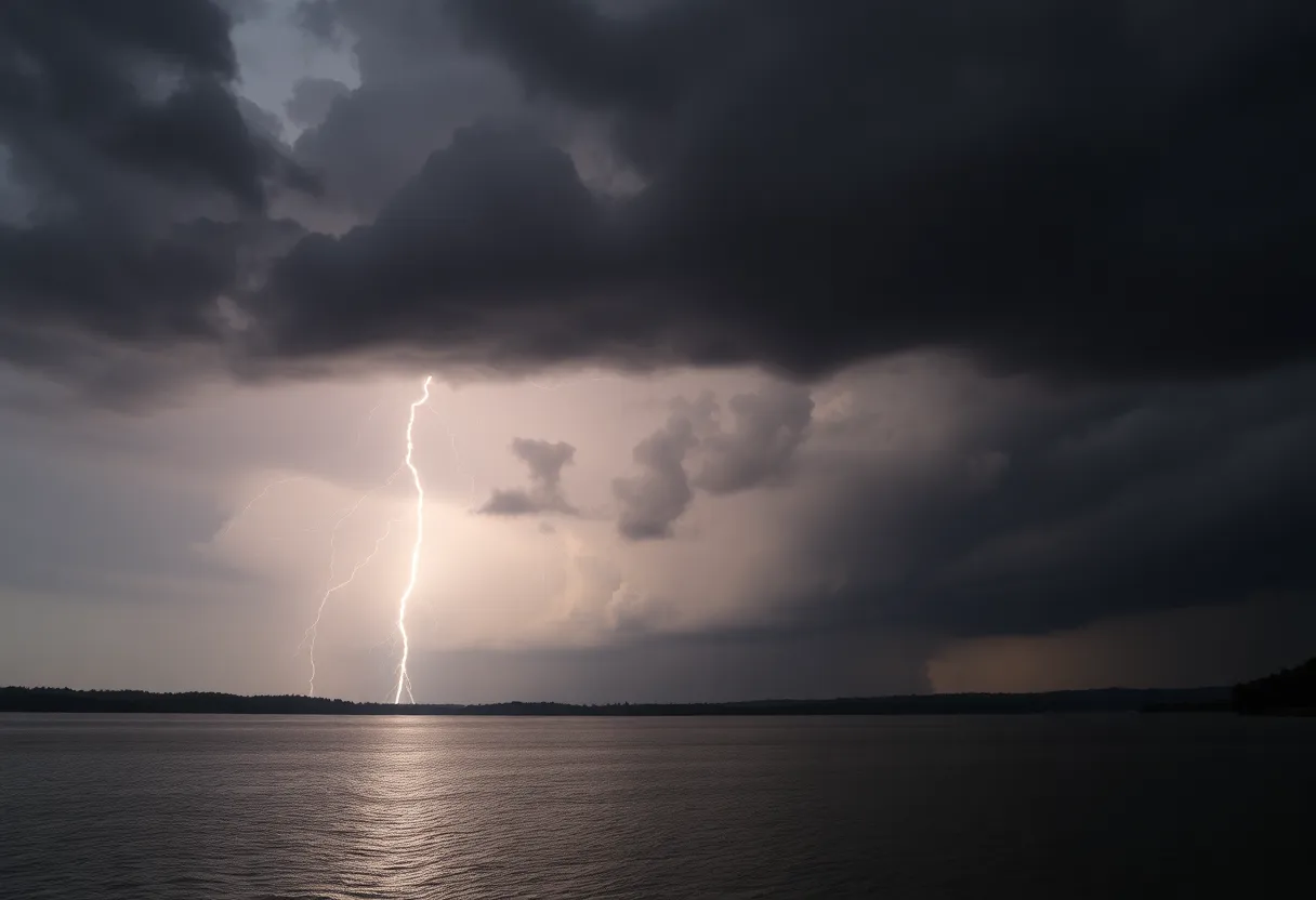
According to Doppler radar, there is a strong thunderstorm now located about nine miles south of Clemson, near the beautiful Lake Hartwell. This storm is moving southwest at a speed of approximately 10 mph. Beware of gusty winds ranging up to 40 mph. These winds can easily knock down tree limbs and send unsecured items flying around your yard.
Where Is It Hitting?
Many local hotspots will feel the storm’s effects. Here are a few places you can expect the worst of the weather tonight:
- Reed Creek
- Lake Hartwell
- Anderson Airport
- Townville
- Fair Play
- Sadlers Creek State Park
- Sandy Springs
Stay Safe and Seek Shelter
For everyone outdoors, the advice is clear: seek shelter inside immediately. Heavy rainfall accompanying this storm could result in localized flooding, so please be cautious. If you’re thinking of riding out the storm in your car, be aware that hydroplaning can happen when there’s too much water pooled on the road.
Water Safety Alert
Are you planning to enjoy some time at Lake Hartwell? If so, now’s not the time! Anyone on or near the water should swiftly exit and find safety indoors or in a vehicle. Remember, lightning is a serious danger! It can strike up to 10 miles away from a thunderstorm, and if you can hear thunder, you’re at risk of a lightning strike.
Taking Thunderstorms Seriously
The NWS encourages everyone to watch the skies and take thunderstorms seriously. Every year in the U.S., about 25 million lightning strikes occur, and approximately 20 fatalities can be attributed to these strikes. So, whether you’re watching the clouds roll in or hearing thunder rumble, remember to act quickly and get to safe shelter.
Drive with Caution
If you’re out and about, just a heads-up: driving through flooded roads can be extremely dangerous. If you come across standing water, it’s best to avoid it altogether. The last thing you want is to be stuck in a situation where your vehicle can’t make it through.
Stay Updated!
For those who spot damaging winds, hail, or flooding, it’s crucial to report any issues to the NWS. They have a toll-free number you can call or you can reach out on social media. It’s all about keeping everyone aware and safe!
Wrap Up.
To sum up, it’s a stormy night ahead in Greater Oconee and Anderson County. Take shelter, avoid unnecessary travel, and stay tuned for further updates. Stay safe, everyone!
Deeper Dive: News & Info About This Topic
HERE Resources
Severe Thunderstorm Warnings Hit Charleston Area
Severe Thunderstorm Warnings Issued for Pickens County, SC
Severe Thunderstorm Warnings Cause Widespread Damage in Spartanburg County
Severe Thunderstorm Alert for York and Chester Counties
Severe Thunderstorm Warnings Hit Columbia
Severe Thunderstorm Alerts and Flood Advisories in South Carolina
Severe Thunderstorm Alerts Impact Greenville and Spartanburg
Thunderstorms Roll into Greater Oconee: Stay Safe!
Severe Thunderstorm Hits Upstate South Carolina
Severe Thunderstorm Warning Issued for South Carolina
Additional Resources
- Herald Online: Severe Weather Alert
- Wikipedia: Thunderstorm
- Greenville Online: Upstate Thunderstorms
- Google Search: Severe Weather Warnings
- Independent Mail: Severe Thunderstorm Warning