News Summary
York County residents are urged to prepare as severe thunderstorms have been forecasted, bringing strong winds up to 60 mph and hail. Alerts issued by the National Weather Service predicted dangerous conditions, with storm activity expected to affect areas including Rock Hill, Fort Mill, and Tega Cay. Residents are advised to secure outdoor items, avoid flooded roads, and stay updated through local broadcasts for safety.
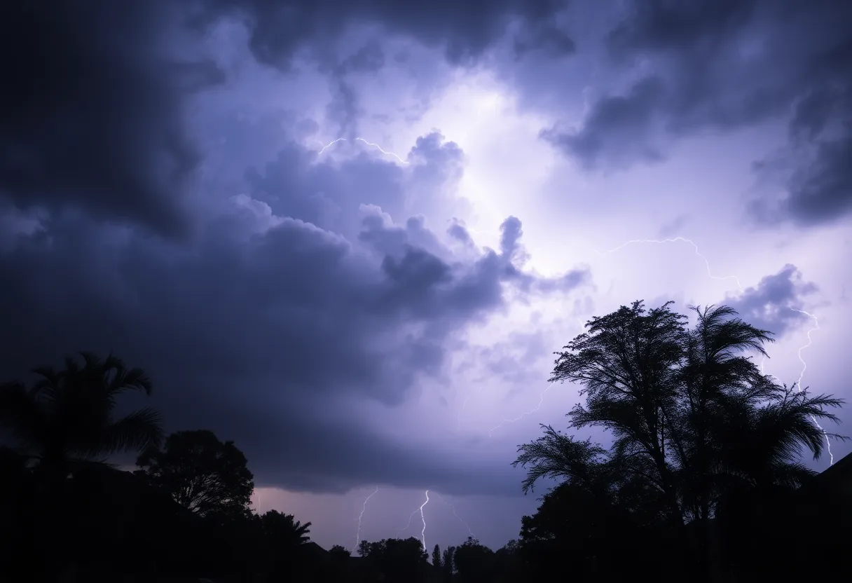
Severe Thunderstorm Warnings Hit York County As Storms Roll In
York County, get ready! It was around 6:46 p.m. on Friday when the National Weather Service let the alarms ring, issuing a weather alert for severe thunderstorms that were forecasted to last until 7:15 p.m. If you thought the skies were clear, think again! Storms packing a punch were steadily moving westward, and they brought some wild winds along for the ride.
As the radar lit up, it was clear that we were in for a wild ride, with strong thunderstorms stretching from just northwest of Indian Land all the way to the east of Rock Hill. These storms weren’t just your average downpour; they had the potential to unleash wind gusts reaching up to 50 mph and hail the size of marbles (that’s about half an inch!).
What Can Expect from These Squalls
Local residents were warned that these gusty winds could knock down tree limbs and send any loose items flying. So, if your lawn décor was starting a new life as a flying object, it’s time to grab it! There’s even a chance for minor hail damage to outdoor items, so keep those umbrellas handy.
Key areas affected by this storm front include Rock Hill, Fort Mill, Tega Cay, and even popular spots like Carowinds and Lake Wylie. If you find yourself in these areas, find some shelter and stay indoors!
Driving Through Stormy Weather? Do This!
As so many of us know all too well, torrential rainfall can lead to localized flooding. If you’re thinking about hitting the roads during a storm, remember: never drive through flooded areas! The risk simply isn’t worth it. Also, keep an eye out for frequent cloud-to-ground lightning – and trust us, these storms can strike as far as 10 miles away.
Stay glued to your television or local radio stations for the latest updates. The weather doesn’t wait for anyone, and being informed can make a real difference in ensuring your safety.
Severe Thunderstorm Warning Extended!
Severe thunderstorms were now officially located along a line extending from 12 miles northwest of Indian Land to near Rock Hill, chugging along at 15 mph. People, especially those enjoying outdoor activities near Lake Wylie, needed to hustle indoors or at least seek the safety of their vehicles. Remember, lightning can be sneaky, striking up to 15 miles away from the storm center!
Road Safety Tips When the Skies Open Up
The first half-hour of rain is especially tricky. Roads can become slick and dangerous, thanks to the mix of rain, grime, and oil. If you find yourself driving during a storm, keep a comfortable distance from other vehicles, slow your speed, and make sure to use your headlights to improve visibility.
And here’s a crucial tip: steer clear of large trucks, as they can block your view and make it even harder to navigate those wet roads. If you ever feel your car start to hydroplane, the best move is to stay calm, take your foot off the gas, and don’t slam on the brakes.
Stay Safe Out There!
As York County braces for these thunderstorms, everyone is urged to take these weather warnings seriously. Stay safe, stay informed, and don’t forget to check those outdoor items that you’ll want to secure from Mother Nature’s stormy plans!
Deeper Dive: News & Info About This Topic
HERE Resources
Severe Thunderstorm Warning Issued for Oconee County
Severe Thunderstorm Warning Issued for Greenville and Spartanburg
Rock Hill’s Community Unites for Healthy Over Hungry Cereal Drive
Severe Thunderstorm Warning Issued for York County
Thunderstorm Watch Issued for Abbeville and Greenwood Counties
Severe Thunderstorm Warning for York County Amid Heatwave
Rock Hill City Council Approves $313 Million Budget
Severe Thunderstorm Warning Issued for Charleston Area
Severe Thunderstorm Warnings Issued for Southeastern Orangeburg
Heat Advisory Issued for Greenville, South Carolina
Additional Resources
- York Daily Record
- Wikipedia: Severe Thunderstorm Warning
- PennLive
- Google Search: Severe Thunderstorm Safety
- WBTV
- Google Scholar: Thunderstorm Safety
- Island Packet
- Encyclopedia Britannica: Thunderstorm
- Herald Online
- Google News: Carolina Weather Alerts
Author: STAFF HERE ROCK HILL
The ROCK HILL STAFF WRITER represents the experienced team at HERERockHill.com, your go-to source for actionable local news and information in Rock Hill, York County, and beyond. Specializing in "news you can use," we cover essential topics like product reviews for personal and business needs, local business directories, politics, real estate trends, neighborhood insights, and state news affecting the area—with deep expertise drawn from years of dedicated reporting and strong community input, including local press releases and business updates. We deliver top reporting on high-value events such as the Come-See-Me Festival, Rock Hill Arts Festival, and motorsport events at the Rock Hill Velodrome. Our coverage extends to key organizations like the Rock Hill Chamber of Commerce and the Culture & Heritage Museums, plus leading businesses in manufacturing and technology that power the local economy such as 3D Systems and Comporium. As part of the broader HERE network, including HEREAiken.com, HEREBeaufort.com, HEREChapin.com, HERECharleston.com, HEREClinton.com, HEREColumbia.com, HEREGeorgetown.com, HEREGreenwood.com, HEREGreenville.com, HEREHiltonHead.com, HEREIrmo.com, HEREMyrtleBeach.com, HERENewberry.com, HERERockHill.com, and HERESpartanburg.com, we provide comprehensive, credible insights into South Carolina's dynamic landscape.


