News Summary
Severe thunderstorms are forecasted to impact Upstate South Carolina and Western North Carolina, bringing gusty winds, hail, and potential flooding. Residents in areas like Greenwood and Anderson are encouraged to take shelter as the National Weather Service issues warnings. These storms could produce wind gusts over 50 mph and localized flooding. Safety measures are advised, including staying indoors and avoiding travel during the storm. Keep tuned for updates.
Thunderstorm Warnings Light Up the Skies in Upstate South Carolina and Western North Carolina!
It’s evening in Greenwood, and a stormy scene is unfolding right before our eyes! The National Weather Service (NWS) has just rolled out an updated weather alert at 7:35 p.m. on Thursday, warning us all about strong thunderstorms packing some serious punch. These storms are expected to linger in the air until 8 p.m., and they’re targeting areas like Laurens and Greenwood counties. Buckle up, everyone!
What to Expect from the Storms
Brace yourselves! These thunderstorms are projected to unleash wind gusts soaring up to 40 mph and can even drop marble-sized hail—that’s about half an inch—as they sweep through our neighborhoods. At exactly 7:35 p.m., Doppler radar was picking up on a fierce thunderstorm just 10 miles northeast of Greenwood near beautiful Lake Greenwood, trudging southeast at a leisurely 10 mph.
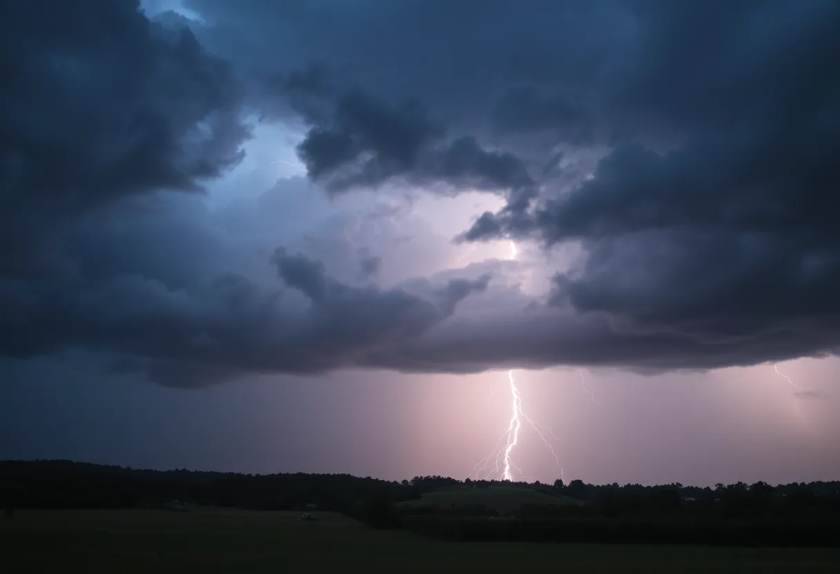
While the sight of lightning can be mesmerizing, it’s important to remember to keep your guard up. The gusty winds might knock down tree limbs or send objects blowing around if they’re left unsecured. If you’re in the vicinity, make sure to keep an eye out for any potential hail damage to your outdoor belongings. So, if you live in or around places like Cross Hill, Lake Greenwood, Greenwood State Park, and Ninety Six, make your plans to stay safe tonight!
Time to Seek Shelter!
Now, here’s a friendly reminder: if you find yourself outdoors when this thunderstorm rolls in, the NWS strongly advises you to head inside a building ASAP. For those enjoying the great outdoors on Lake Greenwood, it’s time to exit the water and either move indoors or find shelter in a vehicle. Remember, lightning can strike up to 10 miles from a thunderstorm, and staying safe should always be the number one priority.
This warning will hang around until 8 p.m., so keep your ears peeled for any updates!
More Thunderstorm Alerts on the Way
In additional weather news, another alert came in at 5:54 p.m. on Friday for our neighbors in Anderson and Greenville counties, warning them of strong thunderstorms until 6:30 p.m.. This storm may kick up to 50 mph winds as it makes its way—a bit faster at 15 mph moving south, according to Doppler radar. Check to see if you’re in places like Honea Path, Princeton, or Fork Shoals—you’ll want to prepare for impact!
Earlier in the week, at 3:52 p.m. on Wednesday, the NWS was also busy issuing warnings for counties including Greenville and Spartanburg—these storms stretched on until 4:15 p.m., boasting winds up to 50 mph and even penny-sized hail. Landrum, Inman, and Boiling Springs had their fair share of weather thrills as Doppler radar picked up a storm moving east at a brisk 20 mph.
Watch Out for Flooding!
As the skies opened up, we were also cautioned about torrential rainfall that could lead to localized flooding. This can be particularly dangerous—remember, it’s never safe to drive through flooded roadways. Hydroplaning is a real concern when roads are slick, and that’s when a vehicle can slide out of control because of water build-up. So be cautious, keep to safe speeds, and avoid any risky driving conditions!
Prepare for Severe Thunderstorms
And just when you thought it couldn’t get any more interesting, the NWS issued a severe thunderstorm warning at 8:12 p.m. on June 17 affecting several counties including Elbert, Hart, and Henderson. Wind gusts in these severe areas could reach up to 60 mph and the storms are expected to roll northeast at a vigorous 50 mph. No one wants to be caught unprepared in situations like this—make sure to find a spot on the lowest floor of your home where you can feel safe!
As this stormy weather moves through Upstate South Carolina and beyond, stay safe, keep connected for updates, and if you see any damage, make sure to report it! Stay tuned and keep your loved ones close!
Deeper Dive: News & Info About This Topic
HERE Resources
Severe Thunderstorm Warning for Henderson County: Prepare Now
Severe Storms Rip Through Pickens County, SC
Severe Weather Alert: Thunderstorms Impact Oconee and Anderson County
Severe Thunderstorm Warnings Hit Charleston Area
Severe Thunderstorm Warnings Issued for Pickens County, SC
Severe Thunderstorm Warnings Cause Widespread Damage in Spartanburg County
Severe Thunderstorm Alert for York and Chester Counties
Severe Thunderstorm Warnings Hit Columbia
Severe Thunderstorm Alerts and Flood Advisories in South Carolina
Severe Thunderstorm Alerts Impact Greenville and Spartanburg
Additional Resources
- Greenville Online
- Wikipedia: Thunderstorm
- Independent Mail
- Google Search: severe thunderstorm Anderson County
- Herald Online
- Google Scholar: thunderstorm warnings
- The State
- Encyclopedia Britannica: thunderstorm
- Delaware Online
- Google News: Greenville thunderstorm alerts
Author: STAFF HERE ROCK HILL
The ROCK HILL STAFF WRITER represents the experienced team at HERERockHill.com, your go-to source for actionable local news and information in Rock Hill, York County, and beyond. Specializing in "news you can use," we cover essential topics like product reviews for personal and business needs, local business directories, politics, real estate trends, neighborhood insights, and state news affecting the area—with deep expertise drawn from years of dedicated reporting and strong community input, including local press releases and business updates. We deliver top reporting on high-value events such as the Come-See-Me Festival, Rock Hill Arts Festival, and motorsport events at the Rock Hill Velodrome. Our coverage extends to key organizations like the Rock Hill Chamber of Commerce and the Culture & Heritage Museums, plus leading businesses in manufacturing and technology that power the local economy such as 3D Systems and Comporium. As part of the broader HERE network, including HEREAiken.com, HEREBeaufort.com, HEREChapin.com, HERECharleston.com, HEREClinton.com, HEREColumbia.com, HEREGeorgetown.com, HEREGreenwood.com, HEREGreenville.com, HEREHiltonHead.com, HEREIrmo.com, HEREMyrtleBeach.com, HERENewberry.com, HERERockHill.com, and HERESpartanburg.com, we provide comprehensive, credible insights into South Carolina's dynamic landscape.

