News Summary
Residents of Southeast Texas are preparing for a major winter storm as the National Weather Service issues a Winter Storm Warning. Snow and ice are predicted, leading to hazardous driving conditions and potential for significant accumulations. Travel advisories are in effect, urging residents to stay home from Monday night until at least Wednesday afternoon as freezing temperatures and precipitation pose serious risks. The storm could result in dangerous conditions, including the possibility of pipe bursts. A warm-up is anticipated by the weekend, giving hope for improved weather.
Winter Storm Warning Hits Southeast Texas: Snow and Ice Expected
Residents of Southeast Texas are bracing for a significant winter storm as the National Weather Service has issued a Winter Storm Warning effective from 6 p.m. Monday until 6 p.m. Tuesday. This is not a drill, folks—winter weather is here, and it promises to be impactful!
Snow Flurries on the Horizon
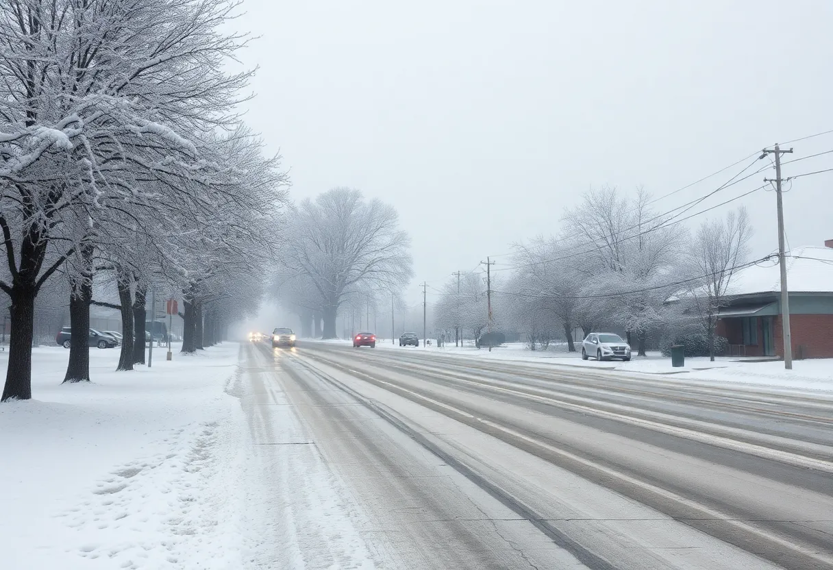
It all starts with snow flurries that have already begun to blanket Southeast Texas, and tonight we can expect the intensity of these flurries to ramp up dramatically. A mixture of snow, sleet, and freezing rain could potentially create some slippery and hazardous driving conditions, especially during those crucial morning hours on Tuesday.
What’s in Store for Accumulations
Now, let’s talk numbers. For those south of I-10, we’re looking at expected snow and sleet totals of 3 to 6 inches, perhaps even more in localized areas. North of I-10 will see slightly less, with accumulations in the 1-3 inch range, but again, don’t rule out the possibility of higher amounts. Oh, and let’s not forget about the ice! Coastal counties could see ice accumulations of up to one-tenth of an inch, which further complicates things.
Visibility Concerns
Heavy snowfall could reduce visibility to between 1/4 and 1/2 mile in some places, making travel increasingly treacherous. So if you were planning to hit the roads during this storm, it might be wise to think twice.
Weather Alert Days Ahead
The ABC13 Weather team has declared Weather Alert Days for both Tuesday and Wednesday, indicating the seriousness of the situation. Plus, an Extreme Cold Watch has been issued for the same period, with temperatures dipping into the low teens. So brace yourselves—Wednesday morning is shaping up to be the coldest of the season!
Monday’s Frosty Start
Start your week off knowing Monday will be quite chilly. Expect lows near or below freezing, but the afternoon should warm up a bit into the upper 30s. However, don’t let those warmer afternoon temps fool you! A light mix of wintry precipitation could start falling as early as Monday afternoon, intensifying overnight and continuing into Tuesday.
When Will it All End?
As for when this wintery mix will finally come to an end, most of the precipitation is expected to taper off between 3 p.m. and 6 p.m. on Tuesday. But don’t let your guard down just yet—this is winter, and it can throw surprises our way!
Stay Put If You Can
Residents are advised to be prepared to stay put from Monday night until at least Wednesday afternoon. The conditions are shaping up to be dangerously icy, making travel nearly impossible in many areas. Air travel isn’t safe either; delays and cancellations could be rampant due to the harsh winter storm hitting.
Watch Out for Pipe Bursts!
The combination of snow on the ground and plunging temperatures heightens the risk of a hard freeze, which can lead to pipe bursts. So make sure your home is prepped for the cold snap! Low temperatures are predicted to sit in the mid-to-upper 20s for Monday and Tuesday morning, dropping into the teens by Wednesday.
A Frosty Finish
To add more chill to this week, Thursday morning is expected to bring another freeze, especially where snow accumulations are higher. After this harsh winter blast, thankfully, a warm-up is on the horizon! Forecasters anticipate a return to non-freezing temperatures by the weekend, where highs are predicted to reach into the 60s. Until then, you might spot a few snowmen lingering in the shady spots, hanging around potentially until Saturday afternoon!
Stay warm and safe, Southeast Texas, as we tackle this winter storm together!
Deeper Dive: News & Info About This Topic
HERE Resources
Winter Weather Alert: Houston Faces Major Snowstorm
Severe Winter Storm Hits the United States
Winter Storm Cora Brings Heavy Snow and Ice Across the South
Winter Storm Cora Set to Blanket Southern States
Additional Resources
- ABC13: Houston Weather Forecast
- AccuWeather: Southern US Severe Weather
- The Weather Channel: Severe Storms and Tornado Threat
- Encyclopedia Britannica: Tornado Prediction
- USA Today: Severe Weather Forecast
Author: STAFF HERE ROCK HILL
The ROCK HILL STAFF WRITER represents the experienced team at HERERockHill.com, your go-to source for actionable local news and information in Rock Hill, York County, and beyond. Specializing in "news you can use," we cover essential topics like product reviews for personal and business needs, local business directories, politics, real estate trends, neighborhood insights, and state news affecting the area—with deep expertise drawn from years of dedicated reporting and strong community input, including local press releases and business updates. We deliver top reporting on high-value events such as the Come-See-Me Festival, Rock Hill Arts Festival, and motorsport events at the Rock Hill Velodrome. Our coverage extends to key organizations like the Rock Hill Chamber of Commerce and the Culture & Heritage Museums, plus leading businesses in manufacturing and technology that power the local economy such as 3D Systems and Comporium. As part of the broader HERE network, including HEREAiken.com, HEREBeaufort.com, HEREChapin.com, HERECharleston.com, HEREClinton.com, HEREColumbia.com, HEREGeorgetown.com, HEREGreenwood.com, HEREGreenville.com, HEREHiltonHead.com, HEREIrmo.com, HEREMyrtleBeach.com, HERENewberry.com, HERERockHill.com, and HERESpartanburg.com, we provide comprehensive, credible insights into South Carolina's dynamic landscape.

