News Summary
Residents of Florence, Darlington, and Dillon counties in South Carolina are under a Severe Thunderstorm Warning until 7 PM today. Intense storms, including hail and strong winds, are expected to cause possible damage. Areas like Latta, Quinby, and near local colleges should stay alert. Drivers are advised to avoid certain highways due to hazardous conditions. Safety tips for lightning and hydroplaning are included as the National Weather Service urges everyone to stay updated on local news.
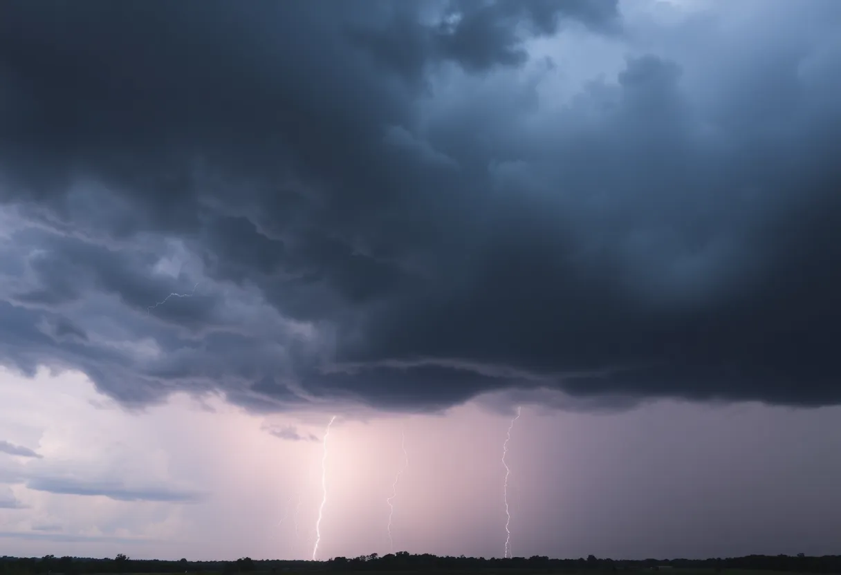
Strong Storms Rolling Through South Carolina!
Hey there, South Carolina residents! If you live in or around Florence, Darlington, or Dillon counties, it’s time to perk up your ears because we’ve got some serious weather on the way! The National Weather Service (NWS) in Wilmington, NC has issued a Severe Thunderstorm Warning that’s in effect until 7 PM today. Buckle up because these storms are packing a punch!
What to Expect
As you go about your evening, keep an eye out for some intense storms coming your way. Doppler radar has picked up a line of thunderstorms stretching from Mechanicsville to Swift Creek, and they’re moving east at a sprightly pace of 20 mph. Get ready because hail the size of marbles (yes, that’s right, about 0.5 inches) might just be on your doorstep, along with some wild wind gusts reaching up to 50 mph.
The winds could be strong enough to break off tree limbs and send those pesky unsecured items blowing around your yard. And just a heads up, minor hail damage to your plants and garden is a possibility as well. Keep those tender greens protected!
Areas Under the Gun
Let’s break down the areas that this storm is expected to hit. If you reside in places like Latta, Quinby, Mars Bluff, or even near the Darlington Raceway, you’re definitely in the line of fire. Also, watch out if you’re at or near the Florence Darlington Technical College Main Campus or Francis Marion University. Other communities like Floydale, Mechanicsville, and Oats should be alert too!
Highway Heads-Up
If you’re planning to hit the roads this evening, be cautious. Highways like Interstate 20 between mile markers 131 and 141 are going to experience some rough weather, as well as Interstate 95, specifically near mile marker 146 and between mile markers 155 and 183. It’s best to avoid these routes if possible until the storm passes. Safety first, folks!
Weather Safety Tips
Now, let’s talk lightning. Did you know that lightning strikes happen about 25 million times annually across the U.S., mostly during the summer months? It’s true! These strikes cause around 20 fatalities each year, so it’s no joke! The chances of getting hit by lightning increases as a storm rolls in and peaks when the storm is right over your head. Once the storm starts moving away, the danger decreases. Stay indoors and keep away from windows during the worst of it!
Also, while we’re on the topic of safety, be extra careful driving during the storm. Hydroplaning can be a real hazard. It happens when a vehicle loses control because of water accumulating on the road ahead of the tires. It’s typically caused by wet conditions, worn tires, or even driving too fast. So, slow down and stay alert!
Stay Updated!
As the situation evolves, the NWS is urging everyone to keep tabs on local radio and television stations for updates, especially as the storms may intensify. Let’s stay safe, South Carolina! Keep an eye on the skies, find a cozy spot, and enjoy your evening indoors until these wild storms blow over.
Deeper Dive: News & Info About This Topic
HERE Resources
Severe Thunderstorm Warnings Hit Charleston Area
Severe Thunderstorms and Flash Flooding Alert for York and Lancaster Counties
Oconee on Alert for Incoming Severe Thunderstorms
Severe Thunderstorm Alerts Issued for South Carolina Regions
Severe Thunderstorm Caution Issued for Chester and York Counties
Thunderstorm Warnings Issued for Greenville-Spartanburg Area
Severe Thunderstorm Warning in Cherokee and Spartanburg Counties
Lightning Strike Injures 20 at Lake Murray Beach
South Carolina Moves to Reform Liability Laws for Small Businesses
Severe Thunderstorm Warning Issued for Henderson County
Additional Resources
- Hoodline: Severe Weather Alert
- Dispatch: Severe Thunderstorm Warning
- Star News: Severe Weather in Wilmington
- Newsweek: Severe Thunderstorm Alerts
- WECT: First Alert Forecast
- Wikipedia: Thunderstorm
- Google Search: Severe Weather
- Google Scholar: Severe Weather Effects
- Encyclopedia Britannica: Thunderstorm
- Google News: Severe Weather Alerts