News Summary
Charleston is currently under severe thunderstorm warnings issued by the National Weather Service. With potential wind gusts up to 50 mph and flash flooding concerns, residents are advised to seek shelter and avoid unnecessary travel. The warnings are in effect until late morning, and ongoing threats still exist even after warnings are lifted. Stay informed, keep safe, and report any storm damage to assist local authorities.
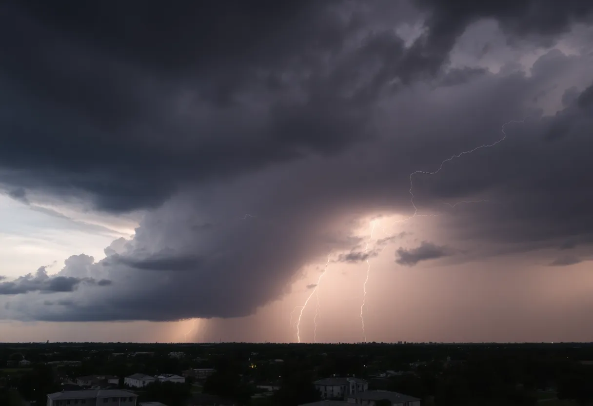
Severe Thunderstorm Warnings Sweep Through Charleston – Here’s What You Need to Know!
Hey there, Charleston! Buckle up because Mother Nature has a wild ride planned for us today. The National Weather Service (NWS) has issued severe thunderstorm warnings for Charleston and surrounding areas, including Inland Berkeley and Tidal Berkeley. The warnings began early this morning, and folks, they’re no joke! The alert is in effect until 11:45 a.m., so keep those eyes peeled.
What’s Happening Right Now?
At 11:21 a.m., the NWS reported a strong thunderstorm brewing right over Boone Hall Plantation, moving northeast at a brisk pace of 10 mph. Current forecasts suggest we could be hit with wind gusts of up to 50 mph. That’s some serious wind, folks, and it’s the kind that can send tree limbs flying and cause other debris to go airborne. So, if you’re outside, it’s probably a good time to find shelter!
Where Are the Impact Zones?
Residents in and around Mount Pleasant, Daniel Island, Isle Of Palms, and Sullivan’s Island, along with areas like Awendaw, Mount Pleasant Regional Airport, Boone Hall Plantation, and the Mount Pleasant Towne Centre, should be especially cautious. Even Capers Inlet and Cainhoy aren’t safe from this stormy chaos!
Road Safety Tips!
Those taking a drive should be aware that this storm is impacting I-526 between mile markers 27 and 31. If you come across flooded roadways, please don’t try to drive through them! The NWS strongly advises against it, as going through flooded areas can be incredibly dangerous.
Flash Flooding and Hydroplaning Hazards
In addition to high winds, the heavy rainfall from this storm can lead to flash flooding. Hydroplaning is a very real concern when the roads are slick. This happens when water builds up in front of your tires, preventing them from gripping the road properly. The main causes of hydroplaning include tire tread depth, your speed, and the depth of water on the road. So, be sure to pay attention to these factors if you must be out and about!
Thunderstorm Safety Recommendations
As thunderstorms roll in, remember that with them comes increased likelihood of lightning strikes. Seeking indoor shelter is the best course of action. Stay tuned to your NOAA Weather Radio or check local news for continual updates regarding the storm.
The Bigger Picture
Interestingly, the U.S. sees around 25 million lightning strikes annually, especially in the summer. Each year, unfortunately, these storms contribute to around 20 fatalities. Driving under such conditions? That’s no picnic either! It’s vital to remain careful and informed while navigating through this stormy weather.
What’s Next?
Around the community, severe thunderstorm warnings in Charleston, Berkeley, and Dorchester Counties were expected to last until 11:45 a.m., but better news is on the horizon! Although warnings were lifted shortly after 10:45 a.m., ongoing threats still linger, including isolated severe thunderstorms. Keep your home and family safe, because damaging winds remain a primary concern.
If you spot any storm damage, the community is encouraged to report it! Be sure to snap some photos and share them online to aid local authorities in assessing the aftermath.
Stay Safe, Charleston!
As we navigate through the stormy weather today, keep alert and stay safe out there! Check on your neighbors, especially the elderly or those who may need assistance. Together, we can weather this storm.
Deeper Dive: News & Info About This Topic
HERE Resources
Charleston Prepares for Heavy Rainfall and Flood Warnings
Tom S. Gettys Center to Remain Open in Rock Hill
Severe Flash Flood Warning Hits Myrtle Beach: Residents Urged to Stay Safe
Severe Thunderstorms Cause Disruption in South Carolina and Alabama
Severe Thunderstorm Hits Charleston and Surrounding Areas
Beaufort County Faces Flash Flood Warning This Weekend
Thunderstorm Warnings Hit Charleston County: Stay Safe!
Severe Thunderstorms Strike South Carolina and Missouri
Severe Heat and Thunderstorms Expected in Maryland and New York
Strong Thunderstorm Warning Issued for South Carolina and Georgia
Additional Resources
- Count on 2 News
- Wikipedia: Severe Thunderstorm
- ABC News 4
- Google Search: Severe Thunderstorm Charleston
- Live 5 News
- Encyclopedia Britannica: Severe Thunderstorm
- Herald Online
- Google News: Thunderstorm Warnings Charleston
Author: STAFF HERE ROCK HILL
The ROCK HILL STAFF WRITER represents the experienced team at HERERockHill.com, your go-to source for actionable local news and information in Rock Hill, York County, and beyond. Specializing in "news you can use," we cover essential topics like product reviews for personal and business needs, local business directories, politics, real estate trends, neighborhood insights, and state news affecting the area—with deep expertise drawn from years of dedicated reporting and strong community input, including local press releases and business updates. We deliver top reporting on high-value events such as the Come-See-Me Festival, Rock Hill Arts Festival, and motorsport events at the Rock Hill Velodrome. Our coverage extends to key organizations like the Rock Hill Chamber of Commerce and the Culture & Heritage Museums, plus leading businesses in manufacturing and technology that power the local economy such as 3D Systems and Comporium. As part of the broader HERE network, including HEREAiken.com, HEREBeaufort.com, HEREChapin.com, HERECharleston.com, HEREClinton.com, HEREColumbia.com, HEREGeorgetown.com, HEREGreenwood.com, HEREGreenville.com, HEREHiltonHead.com, HEREIrmo.com, HEREMyrtleBeach.com, HERENewberry.com, HERERockHill.com, and HERESpartanburg.com, we provide comprehensive, credible insights into South Carolina's dynamic landscape.


