News Summary
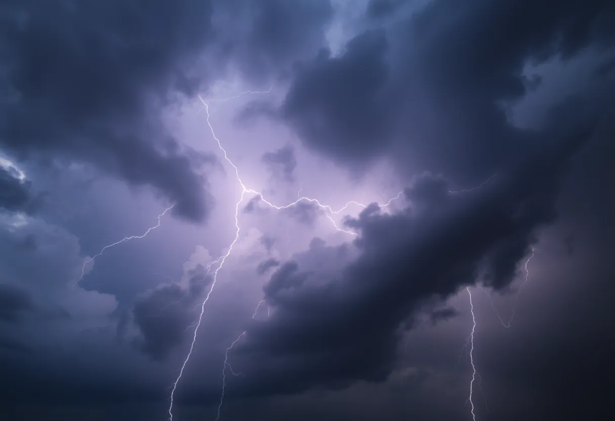
Severe thunderstorm warnings have been issued for Savannah and other areas in South Carolina and Georgia as residents prepare for intense weather conditions. Wind gusts could reach up to 50 mph. Key areas under threat include Coastal Jasper and several local communities. Drivers are advised to exercise caution on impacted highways. The National Weather Service continues to monitor the situation, providing updates for residents as the storms move through the region.
Severe Thunderstorm Warnings Hit South Carolina and Georgia
The city of Savannah is bracing itself for some intense weather as the National Weather Service has issued severe thunderstorm warnings that are shaking up the Southern states. Residents are advised to stay alert as strong thunderstorms are on the move, bringing with them the potential for wind gusts of up to 50 mph. The warning was updated at 8:47 p.m. on Saturday and is expected to remain in effect until 9:30 p.m..
Where the Storms Are Heading
Inland Jasper and Coastal Jasper counties are under the gun, with the storm making its presence felt in a number of areas. The radar is showing a robust thunderstorm over Vernonburg, making its way north at about 15 mph. This could mean trouble for various local communities, especially those in:
- Pooler
- Hunter Army Airfield
- Windsor Forest
- Downtown Savannah
- Midtown Savannah
- Coffee Bluff
- Hutchinson Island
- I-16/I-95 Interchange
- Savannah International Airport
- Wilmington Island
Watch Out on the Highways
If you’re planning to hit the road, be extra cautious! Key highways affected by the storm include:
- I-16 between mile markers 158 and 168
- I-95 in Georgia between mile markers 99 and 103
- I-516 between mile markers 3 and 9
And it’s not just Savannah feeling the impact. Earlier in the day, Charleston residents found themselves facing a tornado warning around 5:30 p.m., which was lifted shortly after 6 p.m.. Meanwhile, a significant part of West Virginia is under a severe thunderstorm watch—44 out of 55 counties—until 11 p.m..
Stay Safe During the Storm
With thunderstorms come a host of safety concerns. Lightning is a major hazard, and there are approximately 25 million lightning strikes in the U.S. every year, leading to around 20 fatalities annually. It’s crucial to remember that the risk of lightning strikes increases as storms approach, peaking when the storm is directly overhead. So, finding shelter indoors is your best bet!
Those living in areas prone to flooding should also be cautious. Hydroplaning can become a serious issue when roads get slick from heavy rain, and it’s best to avoid driving through any flooded roadways. The potential for downed tree limbs and blowing unsecured objects is high with these gusty winds, so keeping indoors until the storm passes will help keep you safe.
Stay Informed
While the storm is brewing, staying updated is your best defense. Keep an eye on the latest updates through NOAA Weather Radio All Hazards or your local news sources. The thunderstorm warnings may evolve, so regular updates will keep you informed of the changing situation.
As the clock ticks towards 9:30 p.m., let’s keep our fingers crossed that the storms pass quickly and the skies clear up soon! Remember to be vigilant, stay safe, and most importantly, take care of yourselves and your loved ones during this tumultuous weather.
Deeper Dive: News & Info About This Topic
HERE Resources
Thunderstorm Warnings Light Up Lowcountry Night Sky
Severe Thunderstorm Warning Hits Chester County
Madison Welcomes New Faces and Projects
Severe Thunderstorm Alert Issued for York County
Thunderstorm Alert Hits Beaufort and Jasper Counties!
South Carolina Faces Severe Thunderstorms and Tornado Watches
Severe Thunderstorm Warnings Roll into Charleston
Severe Thunderstorm Warnings Across South Carolina and Arkansas
Myrtle Beach on Alert: Strong Thunderstorms Bring Hail and High Winds
Severe Thunderstorm and Flood Watch for Upstate South Carolina
Additional Resources
- WYFF4: Severe Storm Threat in South Carolina
- Wikipedia: Thunderstorm
- Count on 2: Severe Storms Likely
- Google Search: Thunderstorm Safety
- WV Metro News: Severe Thunderstorm Watch for WV
- Encyclopedia Britannica: Lightning
- Live 5 News: Severe Thunderstorm Warnings
- Google News: Thunderstorm Warnings
Author: STAFF HERE ROCK HILL
The ROCK HILL STAFF WRITER represents the experienced team at HERERockHill.com, your go-to source for actionable local news and information in Rock Hill, York County, and beyond. Specializing in "news you can use," we cover essential topics like product reviews for personal and business needs, local business directories, politics, real estate trends, neighborhood insights, and state news affecting the area—with deep expertise drawn from years of dedicated reporting and strong community input, including local press releases and business updates. We deliver top reporting on high-value events such as the Come-See-Me Festival, Rock Hill Arts Festival, and motorsport events at the Rock Hill Velodrome. Our coverage extends to key organizations like the Rock Hill Chamber of Commerce and the Culture & Heritage Museums, plus leading businesses in manufacturing and technology that power the local economy such as 3D Systems and Comporium. As part of the broader HERE network, including HEREAiken.com, HEREBeaufort.com, HEREChapin.com, HERECharleston.com, HEREClinton.com, HEREColumbia.com, HEREGeorgetown.com, HEREGreenwood.com, HEREGreenville.com, HEREHiltonHead.com, HEREIrmo.com, HEREMyrtleBeach.com, HERENewberry.com, HERERockHill.com, and HERESpartanburg.com, we provide comprehensive, credible insights into South Carolina's dynamic landscape.


