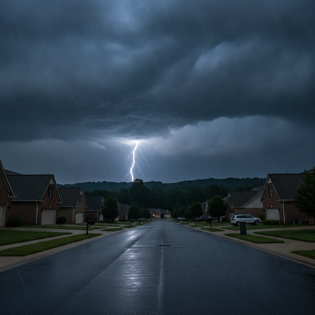
Rock Hill and the broader Carolinas region are bracing for an increased threat of severe weather this Tuesday evening, with all types of severe weather possible. Residents are advised to have at least two methods for receiving warnings.
A stalled front is expected to bring widespread rain to the Carolinas from overnight through Thursday. This system carries an isolated flash flooding risk, particularly for areas including the Interstate 40 corridor, the northern Piedmont, and eventually shifting south and east. The Charlotte metro area and communities along Interstate 85 are anticipated to experience the most active weather during the early to mid-morning hours on Wednesday and Thursday. Gusty winds and frequent lightning are also expected.
Flash flooding is specifically possible Wednesday night into Thursday morning. Confidence is highest for the heaviest rainfall to initially impact the foothills before moving towards the Charlotte metro and I-85 corridor, which connects Rock Hill to Charlotte, North Carolina. This follows a September heat wave that challenged record high temperatures and brought heat indices into the triple digits.
In other weather-related news, an Air Quality Warning is in effect for Mecklenburg County until 8 PM Wednesday due to elevated concentrations of ground-level ozone. Meanwhile, an area of low pressure in the Gulf is projected to strengthen into Tropical Storm Bertha, bringing heavy rain and gusty winds to the Gulf Coast.
Globally, a wildfire in southwest France intensified to such an extent that its smoke column generated a thunderstorm, producing lightning that ignited new fires. Additionally, torrential rains in West Virginia have led to flash flooding, inundating homes and businesses, prompting the deployment of the National Guard.
On a legislative note, the House passed a bill on Tuesday aimed at making daylight saving time permanent. Proponents of the bill argue it would provide more daylight during peak activity times for Americans.
Section: More Rock Hill SC crime news
Filed under: Rock Hill SC Public Safety News